Enlarge image
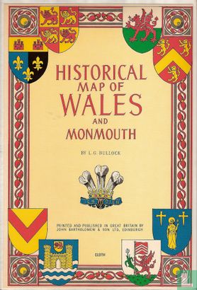
Historical map of Wales and Monmouth

Catalogue information
LastDodo number
1708827
Area
Maps and globes
Title
Historical map of Wales and Monmouth
Type
Manufacturer / publisher
Country of publication
Cartographer / designer
Year
1966
Print Run
Collection / set
Number in collection
Addition to number
Scale
Continent
Country
Not independent areas
Former countries and colonies
City
Material
Type of colouring
Language / dialect
Theme
Dimensions
95 x 64 cm
ISBN13
ISBN10
Details
Relief shown pictorially. Pictorial map with coats of arms.
This text has been translated automatically from Dutch
Click here for the original text
"Relief shown pictorially. Pictorial map with coats of arms."