Enlarge image
Geologische kaart van Nederland 1:50.000. Blad 30 's-Gravenhage, Kwartblad II

Catalogue information
LastDodo number
5476177
Area
Maps and globes
Title
Geologische kaart van Nederland 1:50.000. Blad 30 's-Gravenhage, Kwartblad II
Type
Manufacturer / publisher
Country of publication
Cartographer / designer
Year
1926
Print Run
Collection / set
Number in collection
Addition to number
Scale
Continent
Country
Not independent areas
Former countries and colonies
Region / province
Material
Type of colouring
Language / dialect
Theme
Dimensions
54x42 cm
ISBN13
ISBN10
Details
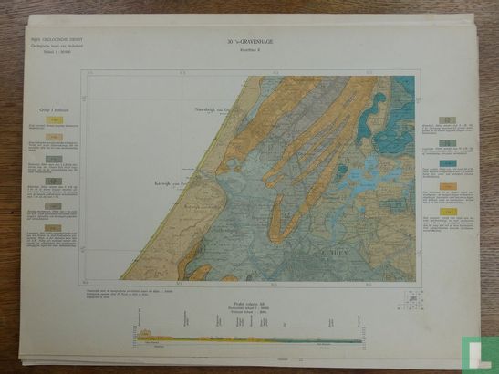
Geological map of the Netherlands 1: 50,000. Page 30 The Hague, Kwartblad II [Katwijk-Rijpwetering / Noordwijkerhout-Leiden area]. 1926. National Geological Survey, geological survey P. Tesch 1921-22. Unfolded card with profile, card approx. 40x55 cm, card surface 25x40 cm.
This text has been translated automatically from Dutch
Click here for the original text
Geologische kaart van Nederland 1:50.000. Blad 30 's-Gravenhage, Kwartblad II [gebied Katwijk-Rijpwetering/ Noordwijkerhout-Leiden]. 1926. Rijks Geologische Dienst, geologische opname P. Tesch 1921-22. Ongevouwen kaart met profiel, kaart ca. 40x55 cm, kaartoppervlak 25x40 cm.