Enlarge image
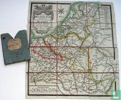
Tableau des Pays-Bas indiquant les routes et distances de Paris aux villes principales des XVII provinces


Catalogue information
LastDodo number
3754121
Area
Maps and globes
Title
Tableau des Pays-Bas indiquant les routes et distances de Paris aux villes principales des XVII provinces
Type
Manufacturer / publisher
Country of publication
Cartographer / designer
Year
1794
Print Run
1
Collection / set
Number in collection
Addition to number
Scale
Continent
Country
Not independent areas
Former countries and colonies
Region / province
City
Type of colouring
Language / dialect
Theme
Dimensions
35 x 37 cm
ISBN13
ISBN10
Details
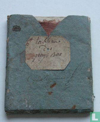
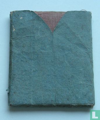
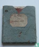
Hand colored. In a casing.
This text has been translated automatically from Dutch
Click here for the original text
Hand ingekleurd.
In foedraaltje.