


Catalogue information
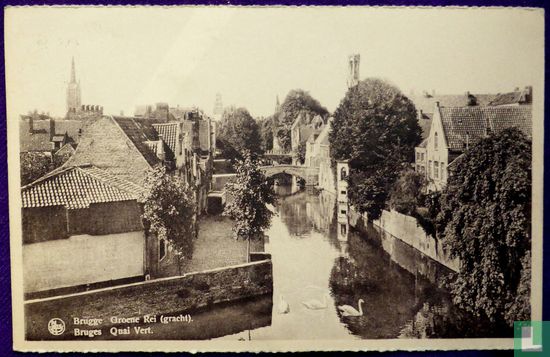
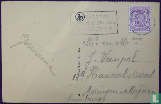
Postmark Bruges May 15, 1950. Addressed to Beringen Mijn (Limburg) Stamp Belgium 20 centimeters N ° Yvert 422 The Groenerei is a watercourse and a street in the center of Bruges. The rei runs from the Kraanrei at the height of the Huidenvettersplein to the meeting with the Sint-Annarei and the Coupure, near the Molenbrug. The street of the same name is located on the eastern half of the southern bank and runs from the Predikherenbrug to the Meebrug. The street on the western half of the southern bank is called Steenhouwersdijk, which was also the name of Groenerei street until around 1825. The Groenerei is spanned by the Peerdebrug, the Meebrug and the Blinde-Ezelbrug. The name "Groenerei" is said to be derived from an inn called 't Groene. Old residents of Bruges usually use that name instead of Groenerei.
This text has been translated automatically from Dutch
Click here for the original text