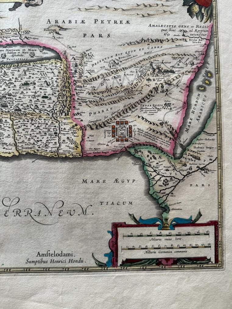
Vintage map published in Amsterdam circa 1630 French text printed on the back Very good condition 47,5 x 57 cm
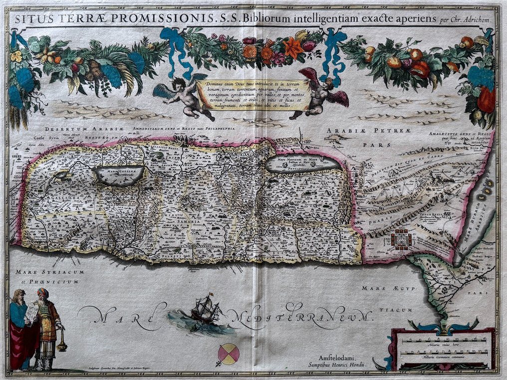
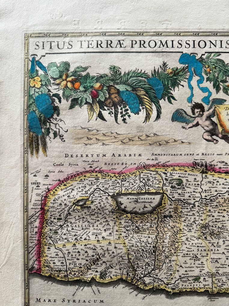
This copperplate engraving of the Holy Land is the first in a series of reprints of a map by Christiaan van Adrichem (1533-85) by Dutch publishers in the 17th century. Adrichem was a Roman Catholic priest and biblical scholar, and the map depicts the Holy Land as Adrichem conceived it, based on his study of the scriptures. The map was printed in Amsterdam in 1633 by Henricus Hondius (1597-1651), and was included in a new edition of the Atlas ou representation du monde universel (Atlas, or universal representation of the world) first published by Jodocus Hondius (1563-1612) and Gerhard Mercator (1512-94).
Vintage map published in Amsterdam circa 1630 French text printed on the back Very good condition 47,5 x 57 cm
This copperplate engraving of the Holy Land is the first in a series of reprints of a map by Christiaan van Adrichem (1533-85) by Dutch publishers in the 17th century. Adrichem was a Roman Catholic priest and biblical scholar, and the map depicts the Holy Land as Adrichem conceived it, based on his study of the scriptures. The map was printed in Amsterdam in 1633 by Henricus Hondius (1597-1651), and was included in a new edition of the Atlas ou representation du monde universel (Atlas, or universal representation of the world) first published by Jodocus Hondius (1563-1612) and Gerhard Mercator (1512-94).
#ExclusiveCabinetofCuriosities
時代
1400-1900
發行地
歐洲
地理規格
帶有太巴列湖和死海的應許之地地圖
地圖製作人/出版社
Hendrik Hondius / Evert Simonsz Hamersvelt
時段
1621-1650
地圖/書籍標題
Situs Terrae Promissionis. S.S. Bibliorum intelligentiam exacte aperiens