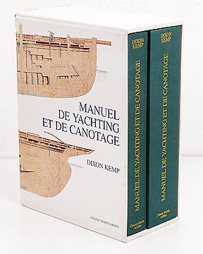

C.M. Chevreux - Traité de la Construction des Yatchs a Voiles (facsimile) - 1991
Nr. 83127545

Nr. 83127545
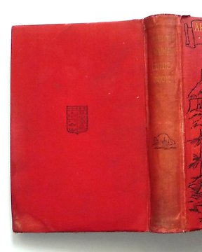
J.F. Imray, H.D. Jenkins and W.H. Rosser
Atlantic Ocean Pilot: The Seaman's Guide to the Navigation of the Atlantic Ocean, with Numerous illustrations, charts and plans. To which is added Notes on the Physical Geography of the Atlantic Ocean by W. H. Rosser
London, James Imray & Son 1884 [Supplement to September, 1995.]
Hardcover 26x18 cm, 1008
*Includes a supplement "Island and coasts of the Atlantic Ocean, 1895, 80 pp.
Rebound in full dark red cloth. Gilt titling on cover and spine
Illustrated with 44 maps, including sixteen fold outs, and including charts of New York, Stanley Harbour in the Falklands and Rio. This would certainly have been the book you would have consulted if you were considering sailing the Atlantic Ocean in the mid-nineteenth century! It contains sailing directions for ports, harbours, islands and reefs of the east and west shores of the Atlantic, and there are detailed chapters on winds, tides, currents and extreme weather conditions.
Sådan køber du hos Catawiki
1. Opdag noget særligt
2. Afgiv det højeste bud
3. Foretag en sikker betaling