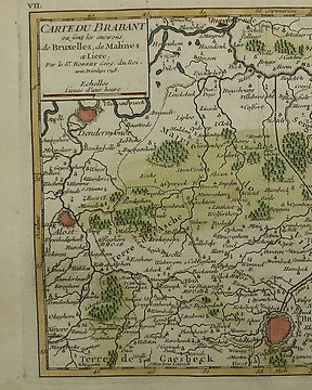
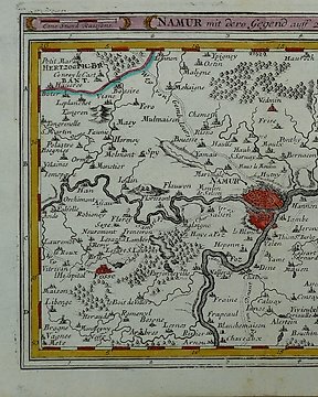
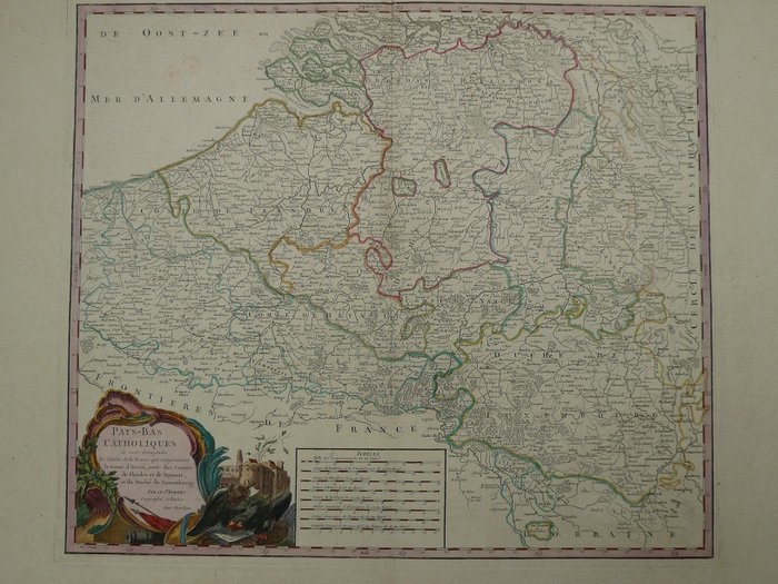
Europe, Map - Belgium / Leuven / Diest / Aarschot; Robert de Vaugondy - Carte du Brabant (...) Louvain, d'Ascot, de Diest - 1748
No. 82627959
Sold
Final bid
€ 61
1 week ago
Europe, Map - Belgium / Luxembourg / Brabant / Flanders / Limburg; Robert de Vaugondy - Pays-Bas Catholiques (..) - 1753
48 x 55 cm.
Kopergravure verschenen in "Atlas Universel", Parijs, 1753.
Middenvouw als uitgegeven.
Verzekerde verzending.
No. 82627959
Sold
Europe, Map - Belgium / Luxembourg / Brabant / Flanders / Limburg; Robert de Vaugondy - Pays-Bas Catholiques (..) - 1753
48 x 55 cm.
Kopergravure verschenen in "Atlas Universel", Parijs, 1753.
Middenvouw als uitgegeven.
Verzekerde verzending.
You might also like
Set a search alert
Set a search alert to get notified when new matches are available.
This object was featured in
How to buy on Catawiki
1. Discover something special
2. Place the top bid
3. Make a secure payment