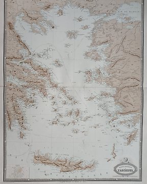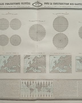
World Map, Map - Earth / Planisphere / Globe; Garnier - Tableau des Principales Projections Usitées pour la Construction des Cartes Géographiques - 1860
No. 82884921
No. 82884921
Dimensions: 50 x 36 cm. (on sheet: 61 x 43 cm.).
Condition: good (minor foxing)
Verso: blank.
Publisher: Veuve Jules Renouard. Paris
Note: from "Atlas spheroidal et universel de Géographie (...)"
Marie Joseph François Garnier (25 July 1839 – 21 December 1873) was a French officer, inspector of Indigenous Affairs of Cochinchina and explorer. He eventually became mission leader of the Mekong Exploration Commission in 19th century Southeast Asia.
How to buy on Catawiki
1. Discover something special
2. Place the top bid
3. Make a secure payment