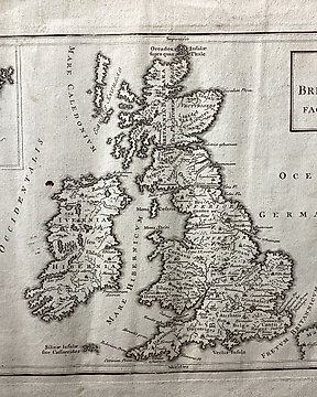
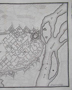
Europe, Map - Belgium; Grabado Siglo XVIII - Palatium Burgus Brugensis Flandes Bélgica - 1721-1750
No. 83546913

No. 83546913
Map "Globi Coelestis in Tabulas Planas Redacti Pars VI". Important and c. 18th celestial chart by Johann Dopplemayr (1677-1750) from his famous star atlas, Atlas Coelestis in quo Mundus Spectabilis. This chart is one of six star charts that used a gnomonic projection with geocentric orientation from Dopplemayr's, Atlas Coelestis. The charts illustrate the planatery systems of Copernicus, Tycho, and Riccioli; the elliptic theories of Kepler, Boulliau, Seth Ward, and Mercator; the lunar theories of Tycho, Horrocks, and Newton; and of Halley's cometary theory. From Dopplemayr, Johann Gabriel. Atlas Coelestis in quo Mundus Spectabilis, published by Johann Baptist Homann (1663 - 1724).
Dimensions
48 cm x 48 cm
Artist or Maker
Johann Dopplemayr
Medium
Engraving
Date
1730
Condition Report
This work is in very good to excellent condition overall. Please review the images carefully for condition and contact us with any questions.
This item is professionally protected by handmade packing.
The Certificate of Authenticity is included.
How to buy on Catawiki
1. Discover something special
2. Place the top bid
3. Make a secure payment