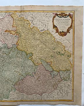
Europe, Map - Czechia / Bohemia / Silsesia / Moravia; Robert de Vaugondy - La Royaume de Boheme, le Duché de Silesie, et les Marquisats de Moravie et Lusace - 1751-1760
No. 83585085

No. 83585085
Good coloured hand coloured map of Africa.
John Cary (c. 1754 – 1835) was an English cartographer.
Life
Cary served his apprenticeship as an engraver in London, before setting up his own business in the Strand in 1783. He soon gained a reputation for his maps and globes, his atlas, The New and Correct English Atlas published in 1787, becoming a standard reference work in England.
In 1794 Cary was commissioned by the Postmaster General to survey England's roads. This resulted in Cary's New Itinerary (1798), a map of all the major roads in England and Wales. He also produced Ordnance Survey maps prior to 1805.
In his later life he collaborated on geological maps with the geologist William Smith. His business was eventually taken over by G. F. Cruchley (1822–1880).
How to buy on Catawiki
1. Discover something special
2. Place the top bid
3. Make a secure payment