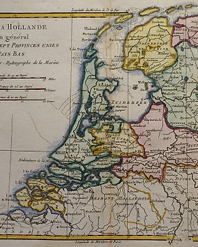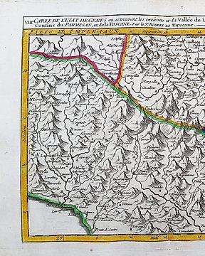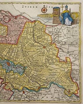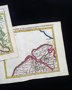
Europe, Map - (LOT of 2) - Belgium / Holland / Flanders / Axel; R. de Vaugondy / M. Robert - Carte de la Flandre - 1721-1750
No. 83826575
No. 83826575
Questo LOTTO di 2 Mappe Geografiche, sono un'incisione su rame originale del 1748/1749.
Trattasi della rara edizione tascabile di VAUGONDY edita nel 1748/1749 nel suo Atlante, che porta il nome di: "ATLAS PORTATIF Universel et MIlittaire, composè d'apres les meilleurs Cartes tant Gravees que Manuscriptes des plus Celebres Geographes et Ingenieurs..... par M. ROBERT, a Paris, 1748 circa"
Bellissime mappe edite a PARIGI, con ottima coloritura, ampi margini, e geograficamente ben dettagliate in ogni punto.
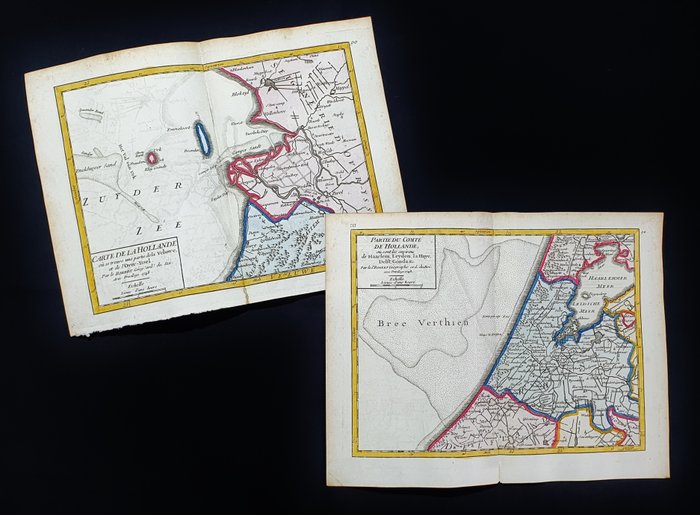
Condizioni: le condizioni sono veramente più che buone come da foto.
Le misure complessive di ogni singola mappa sono: Cm 25 X 20
How to buy on Catawiki
1. Discover something special
2. Place the top bid
3. Make a secure payment