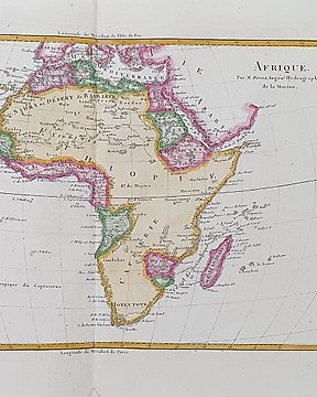
Mediterranean Sea, Map - Roman Empire / North Africa / Middle East / Greece / Turkey / Romania; Bonne / Desmarest - Imperia Antiqua. Pars Occidentalis - 1787
No. 83960859
Sold
Final bid
€ 40
2 weeks ago
Mediterranean Sea, Map - Roman Empire / Europe / North Africa; Bonne / Desmarest - Imperii Romani, Distracta. Pars Occidentalis - 1787
Dimensions: 35 x 23.5 cm. (on sheet: 46.5 x 32 cm.).
Condition: very good (minor foxing)
Verso: blank.
Mapmaker: Bonne
Publisher: Paris
Note: from "Atlas Encyclopédique (...)"
No. 83960859
Sold
Mediterranean Sea, Map - Roman Empire / Europe / North Africa; Bonne / Desmarest - Imperii Romani, Distracta. Pars Occidentalis - 1787
Dimensions: 35 x 23.5 cm. (on sheet: 46.5 x 32 cm.).
Condition: very good (minor foxing)
Verso: blank.
Mapmaker: Bonne
Publisher: Paris
Note: from "Atlas Encyclopédique (...)"
You might also like
Set a search alert
Set a search alert to get notified when new matches are available.
This object was featured in
How to buy on Catawiki
1. Discover something special
2. Place the top bid
3. Make a secure payment