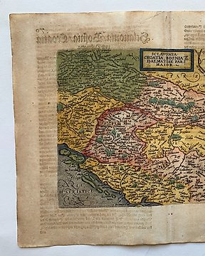
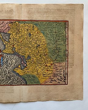
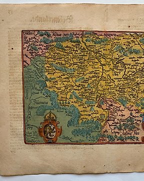
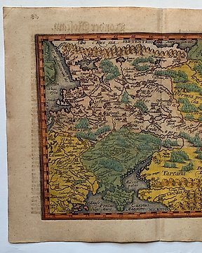
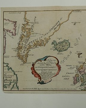
Europe, Map - Belgium / Flanders; J B Elwe & D M Langeveld - Kaartje van 'T Graafschap Vlaanderen - 1786
No. 83968867
Sold
Final bid
€ 40
1 week ago
Europe, Map - Belgium / Liege / Maastricht / Limburg; Cornelis Claesz. - Leodiensis Dioecesis - 1581-1600
Pape: 12 x 17 cm.
Copperengraving published in; "Thresor de Chartes, contenant les Tableaux de tous les Pays du Monde". Published in Den Haag, 1600.
Insured shipping.
No. 83968867
Sold
Europe, Map - Belgium / Liege / Maastricht / Limburg; Cornelis Claesz. - Leodiensis Dioecesis - 1581-1600
Pape: 12 x 17 cm.
Copperengraving published in; "Thresor de Chartes, contenant les Tableaux de tous les Pays du Monde". Published in Den Haag, 1600.
Insured shipping.
You might also like
Set a search alert
Set a search alert to get notified when new matches are available.
This object was featured in
How to buy on Catawiki
1. Discover something special
2. Place the top bid
3. Make a secure payment