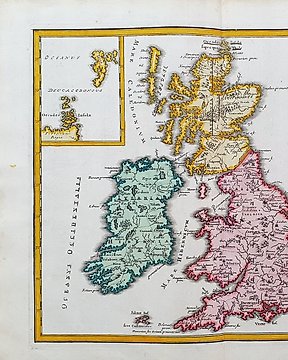
Europe, Map - UK / British Isles; Christopher Weigel & David Kohler - Insulae Britannicae Antiquae ex Collatione Veterum Geographorum - 1701-1720
No. 84018535

No. 84018535
H. Chatelain, Carte generalle du gouvernement militaire de France, et l'État de ses forces, tant par terre, que par mer.
Amsterdam, Chatelain, 1713.
Dimensions: 33,5 x 43cm (engraving), 44,5 x 52 cm (paper).
Very good condition.
How to buy on Catawiki
1. Discover something special
2. Place the top bid
3. Make a secure payment