Europe, Map - Italy; Georg Balthasar Probst, Augsburg - Konvolut von 3 Guckkastenblättern aus der Geschichte von Romulus und Remus (Vue d´Optique) - 1781-1800
No. 84369607

No. 84369607
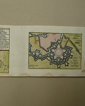
Map 1
Beautiful impression on laid paper.
Detailed map of the French part of Flanders, including Douay, Lille, Doornick, Conde, St. Amand.
Condition is good. Some toning. Original centerfold. Creases and two tears bottom centre.
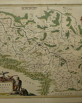
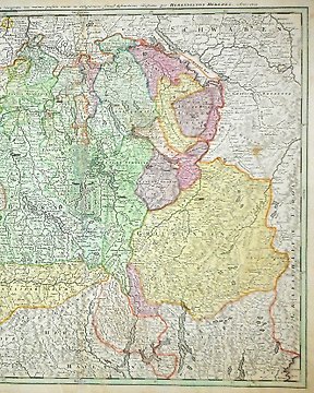
Map 2
Good hand coloured map on laid paper.
Text at the back.
Condition:
A number of lost parts due to ink bistre burning to through the paper. Also some brown stains, especially on edge of the map.
Surface dirt. Vertical centre fold. Tear at 6 o'clock. Extensive tape repairs to recto. Abrasion above St Truyen.
How to buy on Catawiki
1. Discover something special
2. Place the top bid
3. Make a secure payment