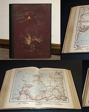
Eurooppa, Atlas - maailman liikennekartalla; Dr. Koch - Eisenbahn und Verkehrs Atlas Europa - 1881-1900
Nro. 83086369
Nro. 83086369
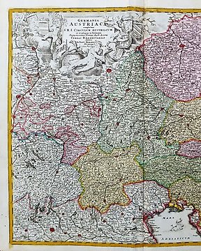
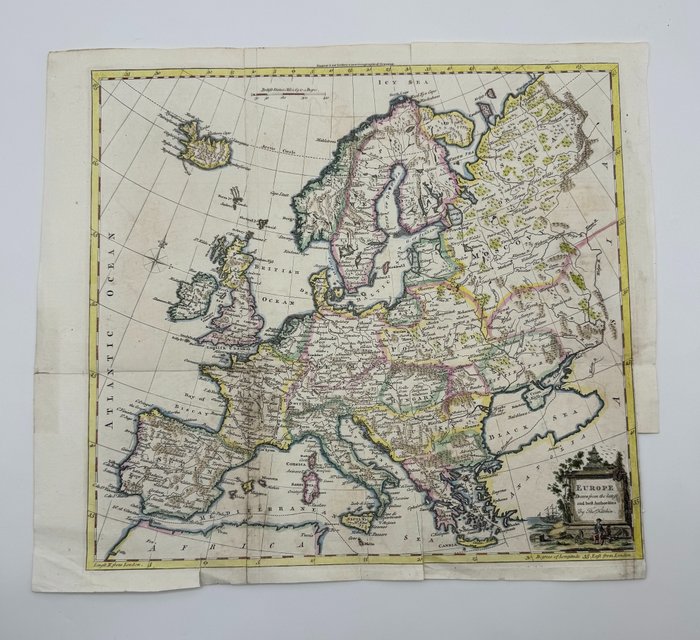
Detailed English map of Europe and Iceland. Interesting 18th Century map of Europe, colored by countries. Includes decorative cartouche.
Techniques: Copper-plate Engraving
Date/Place: 1770
Printed: London, United Kingdom
Size: 38 cm x 42 cm
Condition: Generally very good with the usual light overall toning, wear, there may be minor imperfections to be expected with age. Minor repaires a tergo.
We include the Certificate of Authenticity. This Item is professionally protected by handmade packing.
Näin ostat Catawikistä
1. Löydä jotain erityistä
2. Tee korkein tarjous
3. Maksa turvallisesti