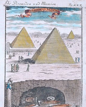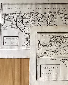
Afrikka, Kartta - Egypti; Niilin suisto; Christophe Cellarius - Aegyptus et Cyrenica & Aegypti Delta et Nili Ostia - 1721-1750
Nro. 84075263

Nro. 84075263
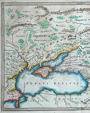
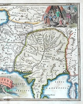
A map of Britain and Ireland from Christoph Cellarius’ ‘Geographia antiqua: being a complete sett of maps, of antient geography, beautifully engraved from Cellarius. Designed for the use of schools, and of gentlemen, who make the antient writers their delight or study. London Printed for John and Paul Knapton 1747.’ First English edition with focus on the ancient world. Illustrated with these bold double-page engraved maps by R.W. Seale and W.H. Toms covering the three divisions of the ancient world: Europe, Asia and Africa. On the maps two different typestyles, italic and roman, are used to distinguish between ancient and modern place names.
Christoph Cellarius (1638-1707)
Condition is good.
Näin ostat Catawikistä
1. Löydä jotain erityistä
2. Tee korkein tarjous
3. Maksa turvallisesti