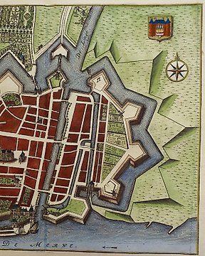
Holandia, Plan miasta - Franekera; L Guicciardini - Franicher. - 1612
Nr 81774683
Nr 81774683
Dimensions: 15 x 10.5 cm. (on sheet: 20.5 x 13.5 cm.).
Condition: very good (minor foxing)
Verso:blank
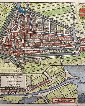
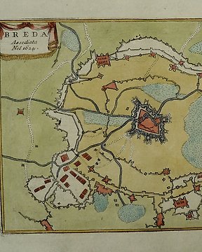
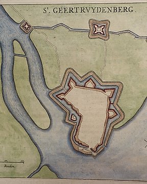
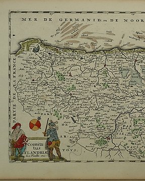
Author: M. Mallet
Publisher: J. A. Jung. Francoforte.
Note: from "Beschreibung des ganzen Welt Kreises"
Alain Mannesson Mallet (1630-1706) was a French mapmaker and engineer who served in the armies of Louis XIV. After rising through the ranks, Mallet was appointed as Inspector of Fortifications, a job which also required mathematical skills and which made him a competent military engineer.
Jak kupować w serwisie Catawiki
1. Odkryj coś wyjątkowego
2. Złóż najwyższą ofertę
3. Dokonaj bezpiecznej płatności