Możesz ustawić swoje preferencje dotyczące plików cookie, korzystając z poniższych opcji. Możesz zaktualizować swoje preferencje, wycofać swoją zgodę w dowolnym momencie i zobaczyć szczegółowy opis rodzajów plików cookie, które my i nasi partnerzy stosujemy w naszej politykę plików cookie .
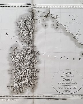
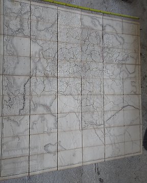
Świat, Atlas - Morza i wybrzeża; Waghenaer, Van Keulen, Blaeu a.m.o. - Nederlandse zeekaarten uit de Gouden Eeuw + Oude scheepskaarten en hun makers - 1500-1800
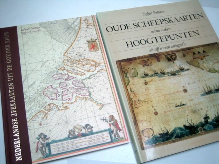
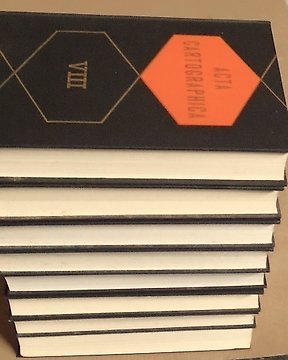
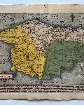
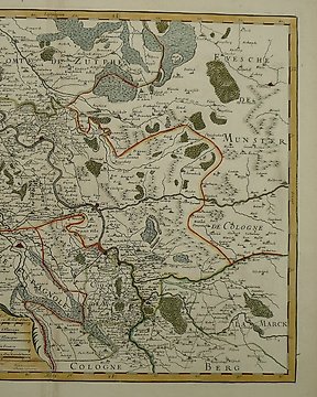
1- Nederlandse Zeekaarten uit de Gouden Eeuw - Robert Putman - Abcoude, Uniepers, 2005 - 144 pp - hardback- 34 x 25,5 cm. Language: Dutch.
Mint condition.
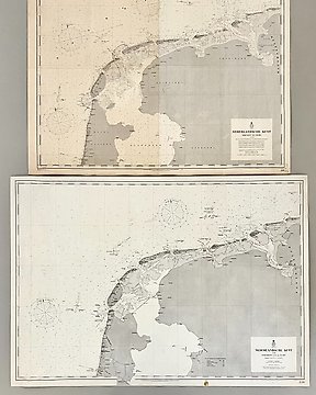
A highly sought-after, richly illustrated, overview of the cartographers and map publishers from the Netherlands in "the Golden Age" (commissioned by the V.O.C. and W.I.C. among others).
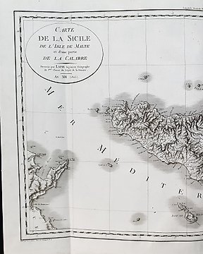
2 - Oude scheepskaarten en hun makers - Hoogtepunten uit vijf eeuwen cartografie - Robert Putman - Amsterdam, H.J.W. Becht / Mercbook Int., Guernsey, 1983 - 144 pp - hardback (linen) with dust jacket - 39 x 30,5 cm.
Language: Dutch.
Mint condition.
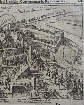
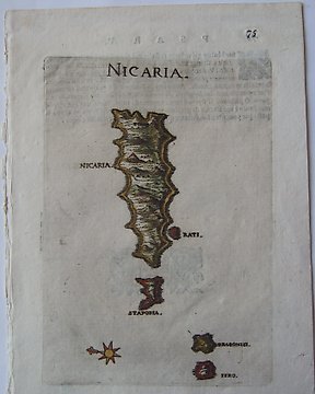
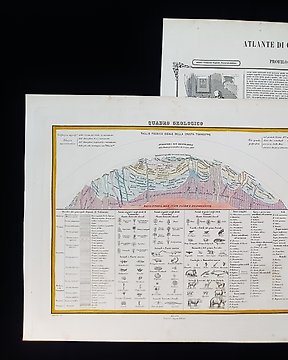
A standard work; at each of the 67 color images a description of the chart itself, the atlas or seaman's guide of which it is a part, the makers and the techniques used.
(total 2
weight: 3,5 kg)
Nr 81950501
Sprzedane
Świat, Atlas - Morza i wybrzeża; Waghenaer, Van Keulen, Blaeu a.m.o. - Nederlandse zeekaarten uit de Gouden Eeuw + Oude scheepskaarten en hun makers - 1500-1800
1- Nederlandse Zeekaarten uit de Gouden Eeuw - Robert Putman - Abcoude, Uniepers, 2005 - 144 pp - hardback- 34 x 25,5 cm. Language: Dutch.
Mint condition.
A highly sought-after, richly illustrated, overview of the cartographers and map publishers from the Netherlands in "the Golden Age" (commissioned by the V.O.C. and W.I.C. among others).
2 - Oude scheepskaarten en hun makers - Hoogtepunten uit vijf eeuwen cartografie - Robert Putman - Amsterdam, H.J.W. Becht / Mercbook Int., Guernsey, 1983 - 144 pp - hardback (linen) with dust jacket - 39 x 30,5 cm. Language: Dutch.
Mint condition.
A standard work; at each of the 67 color images a description of the chart itself, the atlas or seaman's guide of which it is a part, the makers and the techniques used.
Przeglądaj tysiące wyjątkowych przedmiotów wybranych przez ekspertów. Zobacz zdjęcia, szczegóły i wartość szacunkową każdego wyjątkowego przedmiotu.
2. Złóż najwyższą ofertę
Znajdź coś, co Ci się podoba i złóż najwyższą ofertę. Możesz śledzić aukcję do końca lub pozwolić naszemu systemowi licytować za Ciebie. Wszystko, co musisz zrobić, to ustawić ofertę na maksymalną kwotę, którą planujesz wydać.
3. Dokonaj bezpiecznej płatności
Zapłać za swój wyjątkowy przedmiot, a my zabezpieczymy Twoją płatność, dopóki Twój przedmiot nie dotrze bezpiecznie do Ciebie. Używamy zaufanego systemu płatności do obsługi wszystkich transakcji.
Niezależnie od tego, czy dopiero zaczynasz przygodę z aukcjami internetowymi, czy sprzedajesz już profesjonalnie, możemy pomóc Ci sprzedać Twoje wyjątkowe przedmioty za wyższe kwoty, tak abyś mógł zarobić więcej.