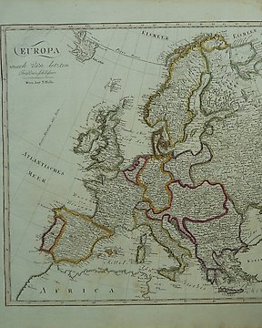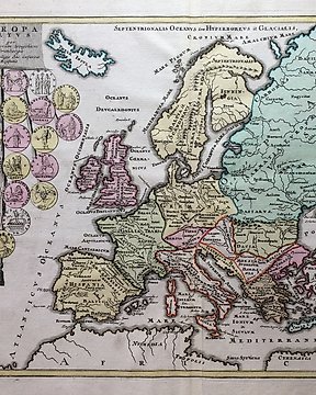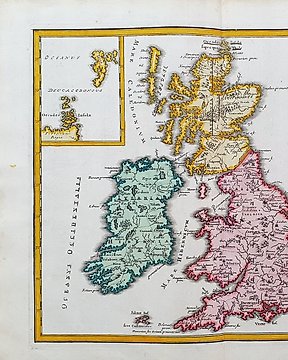
Europa, Mapa - Wielka Brytania/Wyspy Brytyjskie; Christopher Weigel & David Kohler - Insulae Britannicae Antiquae ex Collatione Veterum Geographorum - 1701-1720
Nr 83967925

Nr 83967925
Papersize: 19.5 x 29 cm.
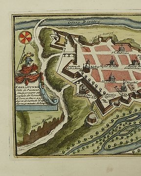
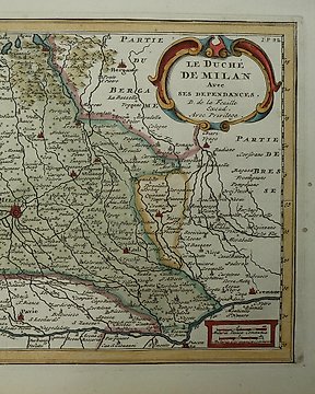
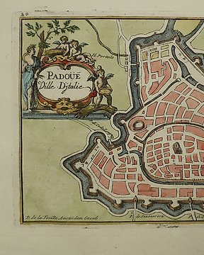
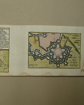
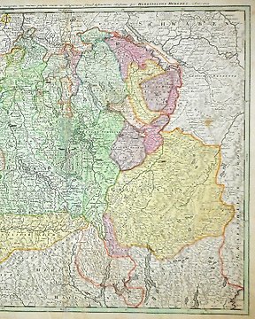
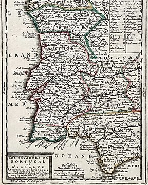
Copperengraving published in; "Atlas Portatif, ou le nouveau Theatre de la Guerre en Europe; Contenants les cartes geographiques, avec les plans des Villes & Forteresses les plus exposees aux revolutions presentes". Published by Jaques van Wesel a Wesel a.d 1706.
Insured shipping.
Jak kupować w serwisie Catawiki
1. Odkryj coś wyjątkowego
2. Złóż najwyższą ofertę
3. Dokonaj bezpiecznej płatności