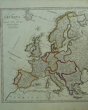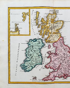
Europa, Mapa - Wielka Brytania/Wyspy Brytyjskie; Christopher Weigel & David Kohler - Insulae Britannicae Antiquae ex Collatione Veterum Geographorum - 1701-1720
Nr 84018993

Nr 84018993
H. Chatelain, Carte du gouvernement civil et militaire avec l'etat des officiers du Royaume d'Irlande.
Amsterdam, H. Chatelain, 1713.
Dimensions: 36 x 46 cm(engraving), 45 x 51 cm (paper).
Very good condition.
Jak kupować w serwisie Catawiki
1. Odkryj coś wyjątkowego
2. Złóż najwyższą ofertę
3. Dokonaj bezpiecznej płatności