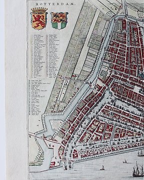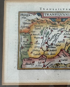
Rumunia, Mapa - Siedmiogród; A Ortelius / JB Vrients - Transilvania - 1601-1620
Nr 84250303

Nr 84250303
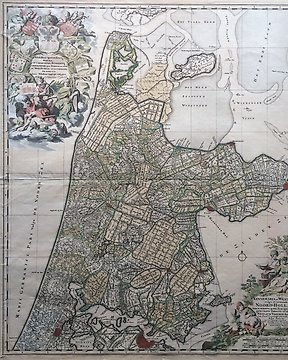
This is the upper right part of P. Bertius' 4 sheet wall-map, showing the part of Poland, Croatia, Slavonia, Ukraine and other adjacent states.
P. Bertius, Imperii Caroli Magni.
Amsterdam 1620.
Dimensions: 42,5 x 49 cm (engraving), 46 x 56,5 cm (paper).
Good condition.
Jak kupować w serwisie Catawiki
1. Odkryj coś wyjątkowego
2. Złóż najwyższą ofertę
3. Dokonaj bezpiecznej płatności