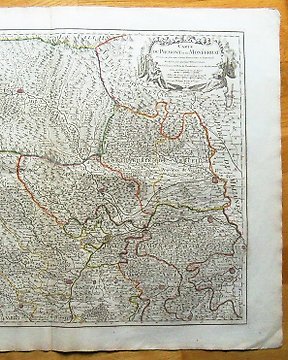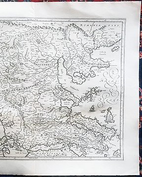
Europa, Plan urbanistic - Franța / Orașele Franței și Coloniilor; Fayard - Ensemble de 70 cartes couleurs. Fayard 1877, gravées par Hausermann - 1861-1880
Nr. 82725475
Nr. 82725475
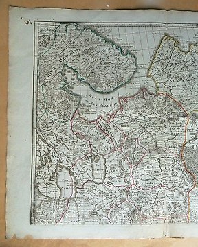
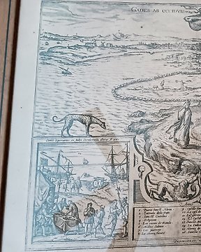
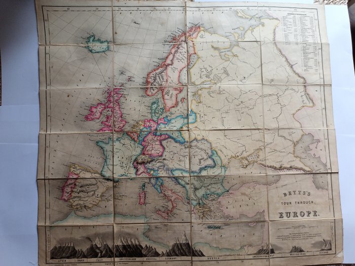
Rare colored lithographed map of Europe (620 x 691mm), with route to be followed when played as a game. Designed to educate players on the history of select cities throughout Europe. Backed with linen and dissected into 24 sections for folding. At bottom is a comparative chart depicting the relative heights of mountains in various countries, with numbered "Reference to the Mountains" in upper right corner giving elevations of peaks. An excellent example, securely bound, with map coloring fresh and bright. Worldcat Discovery lists only three holdings, all in the United States. Map in good condition for Age,light wear on margins,bright colours. Rarity.
Cum să cumperi de la Catawiki
1. Descoperă ceva special
2. Plasează cea mai mare ofertă
3. Fă o plată sigură