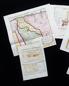
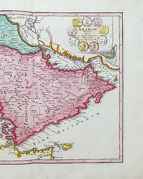
Asien, Karta - (MÅL om 4) Asien / Ostindien / New Holland / Australasien; La Haye / P. de Hondt / J.N. Bellin - Carte des Isles Marianes -- Carte de l'Isle Celebes -- Carte de l'Isle Amboine -- Carte du Detroit - 1721-1750
Nr 64012907

Nr 64012907
Dimensions: 21 x 31.5 cm. (on sheet: 25.5 x 40cm.).
Condition: very good
Verso: blank.
Author: Antoine Francois Prevost
Mapmaker: N. Bellin
Publisher: Didot. Paris.
Note: from "Histoire generale des Voyages ou nouvelle collection de toutes les relations de voyages"
Jacques-Nicolas Bellin (1703-1772) was among the most important mapmakers of the eighteenth century. In 1721, at only the age of 18, he was appointed Hydrographer to the French Navy. In August 1741, he became the first Ingénieur de la Marine of the Dépôt des cartes et plans de la Marine. Bellin set a very high standard of workmanship and accuracy, cementing France's leading role in European cartography and geography during this period. Many of his maps were copied by other mapmakers across the continent.
Hur du köper på Catawiki
1. Upptäck något speciellt
2. Lägg det högsta budet
3. Gör en säker betalning