Europa, Luxembourg, Belgium; I. Tirion - Nuova carta del Ducato di Lucemburgo e della Contea di Namur - 1751-1760
Nr 76863117

Nr 76863117
The map Denmark and parts of surrounding areas in Sweden and Denmark. This map originally drawn by Cloppenburgh and printed by Pieter van der Keere( Kaerius) for the 1630 edition of the Atlas Minor and is a reduced form of the Hondius/Mercator map in his Atlas Minor.
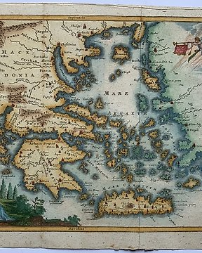
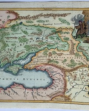
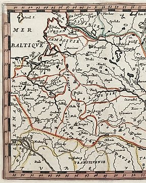
This last edition of this map was used by Martineau Du Plessis for his book " Nouvelle geographie", published in Paris in 1700.
An attractive map from a rare geography book by Du Plessis nowadays very difficult to find.
Very good condition. Left margin partially extended with antique paper. Dark print. Folds as published.
Image 18x25,5cm, page 21x27cm
Hur du köper på Catawiki
1. Upptäck något speciellt
2. Lägg det högsta budet
3. Gör en säker betalning