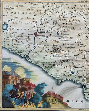
欧洲, 地图 - 保加利亚/罗马尼亚/土耳其/索非亚/博斯普鲁斯海峡/达达尼尔海峡/伊斯坦布尔; Christopher Weigel & David Kohler - Thracia Antiqua - 1701-1720
编号 81774683
编号 81774683
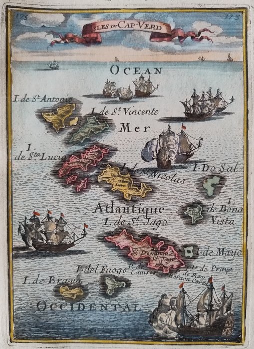
Dimensions: 15 x 10.5 cm. (on sheet: 20.5 x 13.5 cm.).
Condition: very good (minor foxing)
Verso:blank
Author: M. Mallet
Publisher: J. A. Jung. Francoforte.
Note: from "Beschreibung des ganzen Welt Kreises"
Alain Mannesson Mallet (1630-1706) was a French mapmaker and engineer who served in the armies of Louis XIV. After rising through the ranks, Mallet was appointed as Inspector of Fortifications, a job which also required mathematical skills and which made him a competent military engineer.