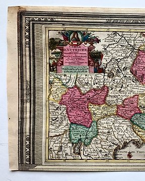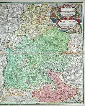
欧洲, 地图 - 德国/巴伐利亚; J. B. Homann - Bavariae Circulus et Electorat (...) - 1701-1720
编号 82106183
编号 82106183
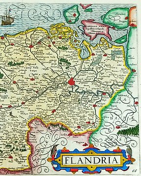
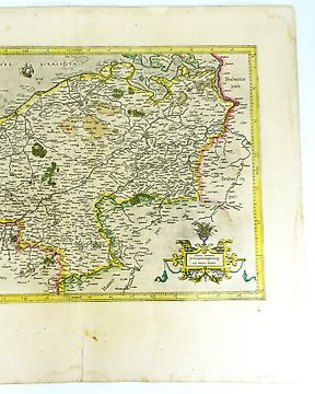
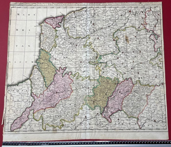
Map of Picardie by Gerard Valk (1652-1726) and his son Leonard Valk (1675-1746). Printed in Amsterdam around 1700.
The map covers from Dunkerque in the north to Noyon and Laon in the south, and from Dieppe in the west to Chimay and Brussels in the east.
The margins of the map has been cut on three sides (left, top, right) and there are cuts and holes to the outer half centimetre on the left side as shown on the photos.