欧洲, 地图 - 意大利 / 撒丁岛 / 马耳他 / 科西嘉岛; Christoph Weigel - Insularum Corsicae Sardiniae Melitae Accurata Descriptio ex mente veterum Geographorum - 1701-1720
编号 82242121
编号 82242121
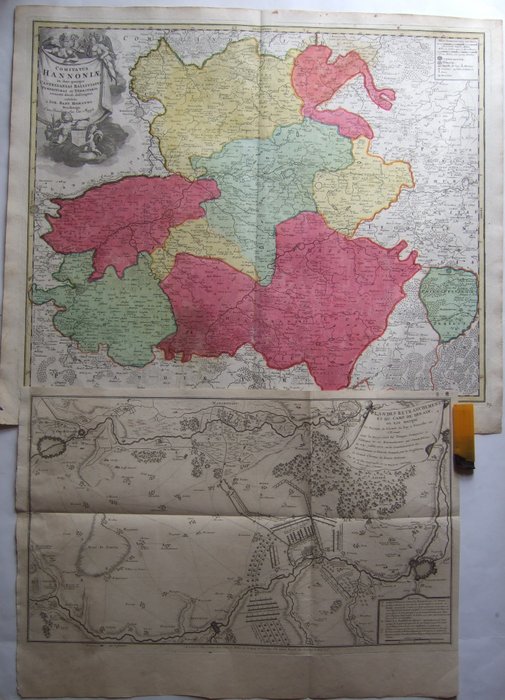
1.) 1720's, XX-Large, very detailed old colored map of Hainaut (also Hennegau, Hennegowen Heynault or Hainault) by the most important German Cartographer of the 18th century - Baptist Homann, at Nuremberg
2.) 1715 dated military map , with positions of French and Imperial Confederate troupes at 24. 7. 1712 ,centered on Denain [French Camp] , by De Fer, at Paris
1.) in good condition, good margins centerfold as usual, little foxing, mostly in outer margins
2.) in good condition , upper left margin [bookbinders outcut] restored , little soiling , folds as issued.
both extremely detailed and very decorative !!
shipping by registered mail only