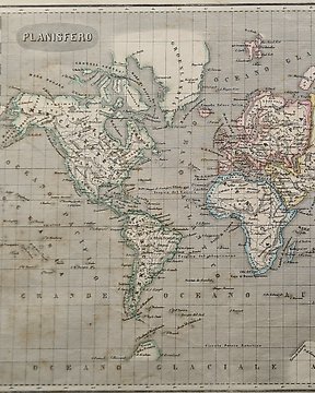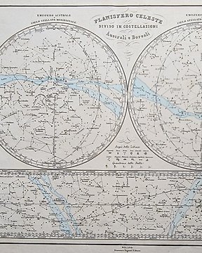
天球, 地图 - 天球; Naymiller / Allodi - Planisfero Celeste diviso in costellazioni australi e boreali - 1851-1860
编号 82955503

编号 82955503
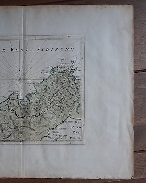
An antique handcoloured map published in " 'Guili. Camdeni Viri Clarissimi Britannia sive florentiss. Regnorum Angliae, Scotiae, Hiberniae..' in 1639. The map is "....plain at the back, are similar in design and execution to those of Peter Keer of 1599 and were perhaps engraved by him". Scale 'Militaria Anglicica Com. 120. Blank verso and two vertical folds with narrow side margins. Old repair on first vertical fold.