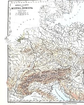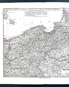
欧洲, 地图 - 欧洲; A. Volkerts - Mittel Europa 1864 - 1861-1880
编号 83000351

编号 83000351
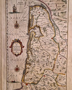
I presented for sale Framed Map of Jersey Island from 1887 ( date by ink in left down corner )
Map shows the Island during low tide with the name of all serounding rocks and reefs.
Map is framed in wood frame with protected glass. Possible good quality wood my guess mahony.
Size of the map including frame: lenght 58cm(23")x high 45cm(17.5")
Frame is labeled on the back by frame shop boots department. This label was in use between 1883 - 1960. After that date Boots changed the logo. To not ruin the frame, the expert could not see the photos of the map outside to verify its authenticity, of which the seller is the sole guarantor.
All my parcels are very well wraped and send via sign and track post. Buyer is able tracking parcel from the begining of delivery.
Shiping to this auction: package up to 3kg. Price for world delivery based delivery price to USA mainland.