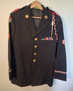

美国 - 军装 - 美国飞行服
编号 83542365

编号 83542365
This fascinating relic from the Second World War shows detailed information on Japan (Kanazawa) and Japan (sendai) on the other side. The map, printed on silk, was designed to be distributed to pilots operating in the region in order aid their escape, should they be shot down over water or hostile territory. A glossary of geographic terms, information on coastal currents, and details on the local transportation networks are just a few examples of the useful data provided by the map’s image.
Evasion charts or escape maps are maps made for servicemembers, and intended to be used when caught behind enemy lines to assist in performing escape and evasion. Such documents were secreted to prisoners of war by various means to aid in escape attempts. During World War II, these clandestine maps were used by many American, British, and allied servicemen to escape from behind enemy lines. Special material was used for this purpose, due to the need for a material that would be hardier than paper, and would not tear or dissolve in water.[1]
Clearly issued map, nicely used!
See also my other interesting WW2 items that I offer for auction on catawiki!