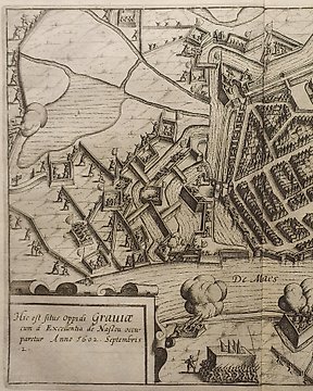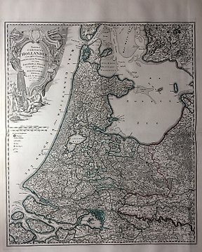
荷蘭, 地圖 - 荷蘭; J.B. Homann - Tabvla Comitatvs Hollandiæ - 1712
編號 82139507

編號 82139507
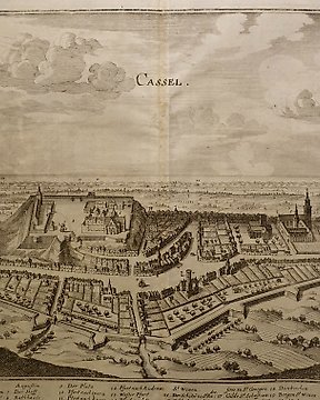
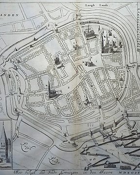
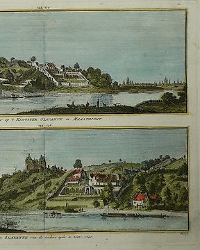
Map of the city of Reesa
Engraving.
61.5 x 72 cm.
BLAEU, Willem Janszoon (1571 Alkmaar - 1638 Amsterdam) copper engraving. Framed & behind glass: 61.5 x 72 cm. 2-sided glazed sheet with an outline of the town of Reesa on the Rhine from a bird's eye view, inscribed "Rhees", description in Latin on the verso, from "Novus Atlas, This is a description of the world / with beautiful new, detailed country plates engraved in Kupffer and given the day by Guil". Glued back fold, slightly foxed. Dutch cartographer, engraver and publisher. The 11-volume "Atlas Maior", published by the Blaeu family, was one of the most expensive and elaborate atlases of the 17th century. Very fresh condition.