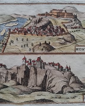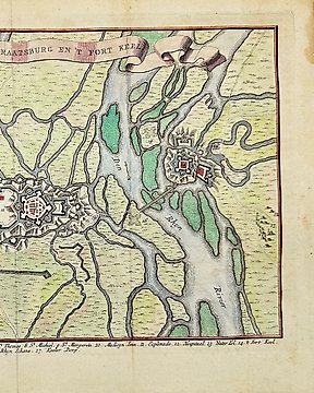
法國, 城市規劃 - 斯特拉斯堡及其防禦工事和萊茵河; Isaak Tirion - Platte Grond van Straatsburg en Fort Kee - 1721-1750
編號 83151703

編號 83151703
St of 2 maps
Map 1:
Copper engraving, London, around 1750, 19.5 x 36 cm. From "A Universal History, from the earliest account of time." - Smoothed longitudinal wrinkles.
Techniques: Copper-plate Engraving
Date/Place: 1750
Printed: London
Size: 20 cm x 36 cm
Map 2:
France with Switzerland map of the Celtic peoples in the Iron Age during the Roman period (5th century BC to 5th century AD).
The area they originally inhabited was known as Gaul.
Techniques: Copper-plate Engraving
Date/Place: 1752
Printed: London
Size: 20 cm x 28 cm
Condition: Generally very good with the usual light overall toning, wear, there may be minor imperfections to be expected with age.
We include the Certificate of Authenticity. This Item is professionally protected by handmade packing.