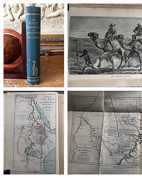
Samuel White Baker - The Nile Tributaries of Abyssinia and the Sword hunters of Hamran Arabs. - 1894
編號 83162523
編號 83162523
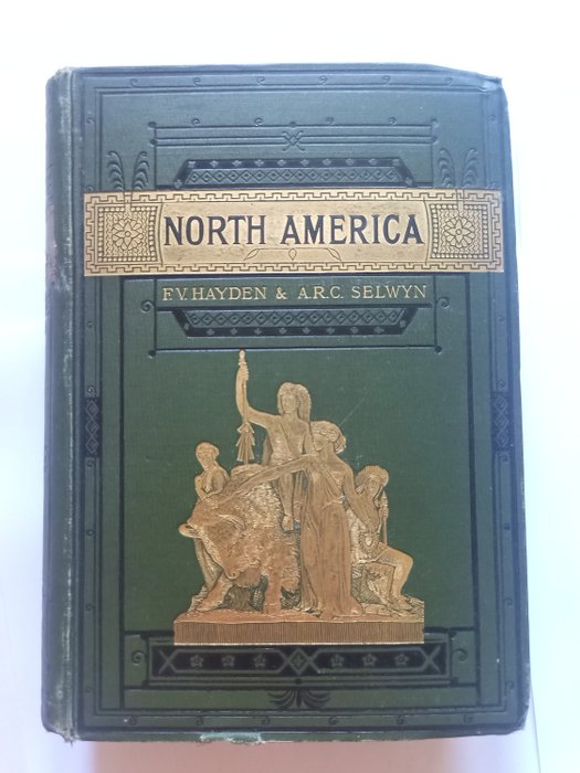
A very RARE and beautiful book "Stanford's Compendium Of Geography And Travel. North America" written by F. V. Hayden/A. R. C. Selwyn and published in 1883. 16 Fold-Out Coloured Maps. Includes: Physical Map, Political Map, National Park,Temperature Maps, Rainfall Map, Geological Map, Dominion of Canada Map, Railway & Route Maps, Newfoundland, Manitoba & British Columbia. Frontis illus, is a view of Washington, protected by tissue guard. Well illustrated with B&W Full-Page and In-Text illustrations. Detailed Text, includes the Appalachians, Mississippi Valley, Rocky Mountains, Pacific Ranges, The Indians, Religion, and much more. Green cloth cover with bright Gilt picture of native American Indians with a Bison on front with Decorative Gilt Ground to title above. Gilt illus. of an Indian Chief on spine, with Gilt Lettering and Black Decoration. Black endpapers Book in good to very good condition. Bright gilt, shelfwear, light wear around edges and corners. Light stains on boards. Inside clean and complete, all maps present and in overall good condition for age, some with light repair on margins. Rear free endpaper missing. The editor was the prominent cartographer and explorer of the American West, and Chief of the United States Geological Survey. The Canadian part was contributed by A. R. C. Selwyn, Director of the Geological Survey of Canada.
Rarity.