歐洲, 地圖 - 比利時/安特衛普; Sebastian Münster / Caspar Merian - Vogelvlucht, vestingplan en profiel van Antwerpen - 1578 - 1654
編號 83376767

編號 83376767
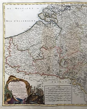
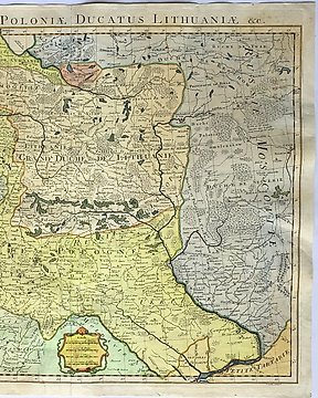
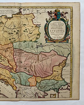
Rare edition of Munster's early map of most of Europe. From Baltics until Spain and from Greece until Ireland. With Poland, eastern Europe, Italy, Austria, France, etc. Includes major cities, rivers, mountains and areas. This early antique map was done by famous Sebasitan Münster and is one of the earliest obtainable maps of the continent. Published around 1552 in Basle with latin text on verso.
South is shown on top! Decorated with a large sailing ship.
Condition: A good print. Central fold with creasing and a few small repaired damages. Some spotting and soiling.
Size: Image 252x343mm, total sheet size 300x365mm
Shipping: Insured and with tracking.