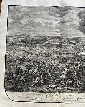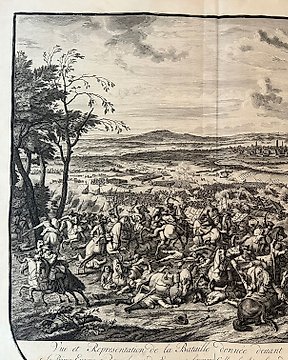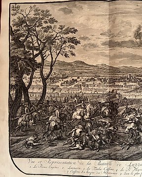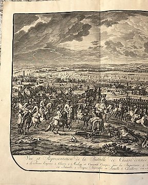
歐洲, 地圖 - 義大利 / 倫巴第大區 / 基亞里 / 布雷西亞; Jean Dumont - Vuë er Representation de la bataille de Chiari donnée le 3. de Septembre 1701 - 1721-1750
編號 83431289

編號 83431289
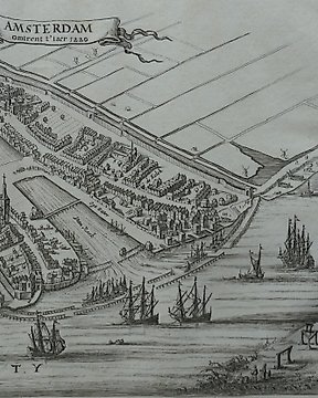
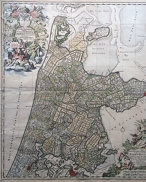
Collection of 24 townplans and sights of towns in Holland. 20 etchings and 4 lithographics.
Towns as Purmerend, Edam, Petten, St. Pancras, Wognum, Schellinkhout, Venhuizen, etc.
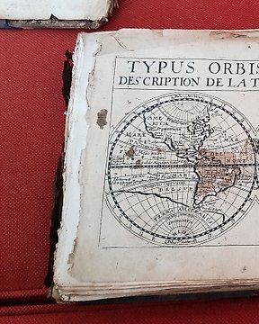
Illustrations from a varity of old books. For example 'Tegenwoordige staat der Verenigde Nederlanden by Isaak Tirion 1743' and "Kabinet van Nederlandsche en Kleefsche oudheden" by Abraham Rademaker
Mostly clear impressions on strong paper. Verso blanc. See the photos for an impression of the quality.