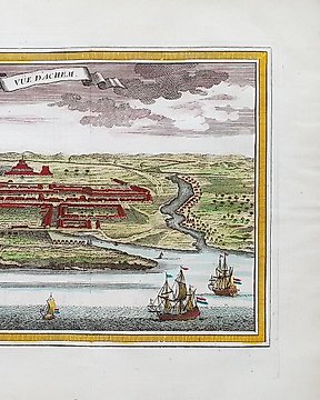
亞洲, 地圖 - 印尼 / 班達亞齊; La Haye / P. de Hondt / J.N. Bellin - Vue d'Achem - 1721-1750
編號 83503453

編號 83503453
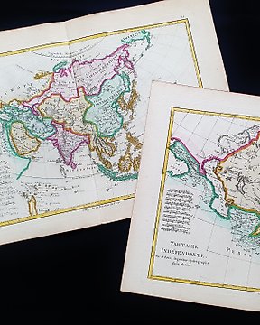
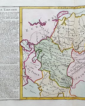
”Carte de l'Empire Chinois et du Japon.”
Hand-coloured engraved map is from Alexandre Emile Lapie’s ”Atlas universel de geographie ancienne et moderne, precede d'un abrege de geographie physique et historique. Par M. Lapie …”, published by Eymery Fruger et Cie in Paris, 1832.
Dimensions
67 cm x 50 cm
Artist or Maker
Alexandre Emile Lapie
Medium
Engraving
Date
1832
Condition Report
This work is in very good to excellent condition overall. Please review the images carefully for condition and contact us with any questions.
This item is professionally protected by handmade packing.
The Certificate of Authenticity is included.