
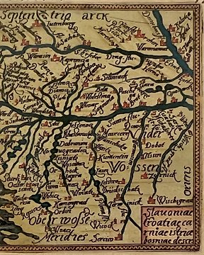
歐洲, 地圖 - 克羅埃西亞/波士尼亞/赫塞哥維納/塞爾維亞; F. Galle / C. Plantijn - Illyricum. Slavoniae, Croatiae, Carniae, Istriae, Bosniae descr. - 1581-1600
編號 83618785

編號 83618785
Lucas Jansz Waghenaer - Spieghel der Zeevaerdt - Printed in Leyden by Christoffel Plantijn, 1584/1585 - Facsimile edition with an introduction by R.A. Skelton: Amsterdam, Van Hoeve, 1980 - introduction 11 pp + first part 144 pp + second part 96 pp - hardback (linen) - 45 x 30 cm - weight: 3 kg.
Language: Dutch and English.
Mint condition.
A facsimile edition of the famous sea chart atlas "Spieghel der Zeevaerdt", with sea charts in 2 parts; of the costs of Holland, Belgium, France, Spain, Portugal (until Gibraltar), England (part one) and Germany, Poland, Baltic States, Denmark, Sweden and Norway (part 2). Very detailed and in large format.
Sheet binding with adhesive strip, issued as original, which means that the charts are printed as a whole, without seam.
(total: 1)


