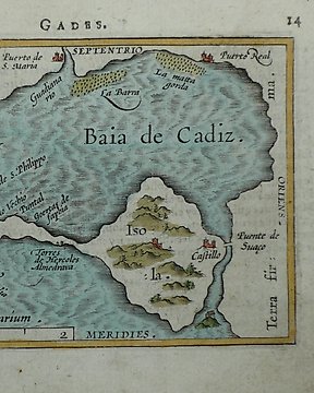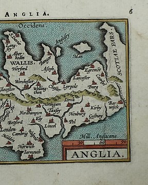
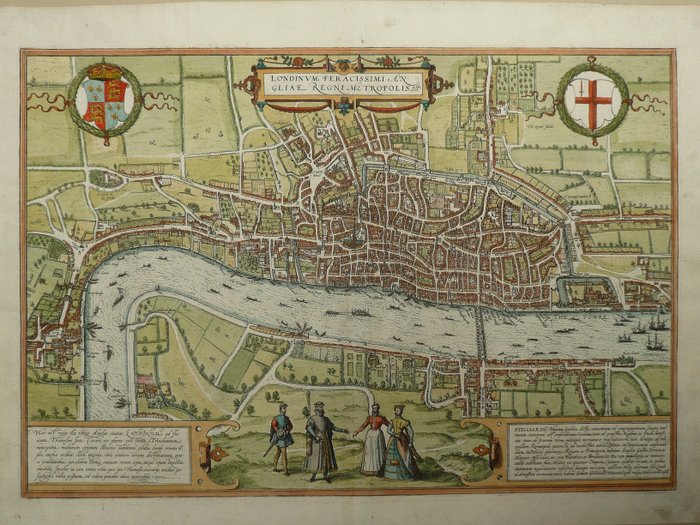
Europa, Landkarte - England / Wales / London; Philippe Galle - Anglia - 1581-1600
Nr. 81766209
Nr. 81766209
33 x 49 cm.
Copperengraving published in the famous townbook of Georg Braun and Frans Hogenberg; "Civitates Orbis Terrarum", Köln, ca. 1580. Fold as published. Old coloured. In the upper blank margin an unobstructive hole, 1 x 1 mm.
Insured shipping
So kaufen Sie auf Catawiki
1. Etwas Besonderes entdecken
2. Höchstgebot abgeben
3. Sichere Zahlung durchführen