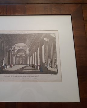
Europa, Landkarte - VEREINIGTES KÖNIGREICH. / Oxford; John Boydell - A View of Ratcliffs Library in the city of Oxford - 1761-1780
Nr. 82224373
Nr. 82224373
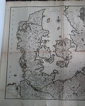
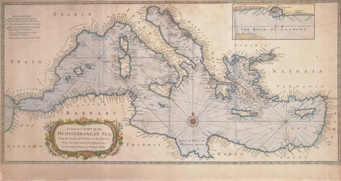
A correct CHART of the MEDITERRANEAN SEA, from the Straits of Gibraltar to the Levant; From the latest and best Observations: For Mr Tindal's Continuation of Mr Rapin's History
R(ichard) W(illiam) Seale del(ineavit) et sculp(sit)
Bella e dettagliata carta nautica del Mediterraneo dallo Stretto di Gibilterra fino alla Siria.
Titolo in basso a sinistra inscritto in un cartiglio dagli eleganti racemi.
In alto, a sinistra EXPLANATION dei simboli nautici utilizzati nella mise en-scène.
In alto a destra THE ROAD OF LEGHORN, il celebre porto franco leit motiv di questa rara e ricercata serie di carte del Mediterraneo.
Acquaforte su carta vergellata e filigranata, non datata (ma 1745 ca), in coloritura coeva
Fascinoso esemplare che presenta segni leggeri e diffusi di ossidazione, tre margini rifilati in prossimità dell'impronta della lastra, una macchia di umidità all'angolo sinistro e residui di colla di nastro adesivo al margine inferiore.
Brachetta moderna di rinforzo al verso, consuete pieghe editoriali, verso vuoto.
Dimensioni: 35x72 cm lo specchio di stampa
So kaufen Sie auf Catawiki
1. Etwas Besonderes entdecken
2. Höchstgebot abgeben
3. Sichere Zahlung durchführen