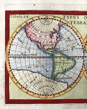
Europa, Landkarte - Spanien; Pazzini Carli - Le provincie di Salamanca, di Guadalaxara, Madrid, Toledo e Mancha - 1791
Nr. 82840567
Nr. 82840567
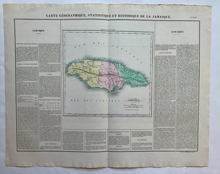
Jean Alexandre Buchon, "Carte géographique, statistique et historique de la Jamaique".
Paris, J. Carez, 1825.
Fine engraved map of the island of Jamaica in the West Indies showing detailed the island with many place names, its parishes, bays, mountains, small islands and many rivers. The map is surrounded by descriptive text on Jamaica, providing information on the climate, the rivers, cities and its history.
Dimensions: 54,5 x 68,5 cm.
Very good condition.
So kaufen Sie auf Catawiki
1. Etwas Besonderes entdecken
2. Höchstgebot abgeben
3. Sichere Zahlung durchführen