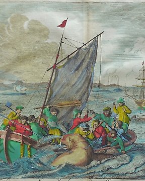
Europa, Landkarte - Deutschland / Festung Philippsburg / Udenheim; Matthäus Merian - 1601-1620
Nr. 83261777
Nr. 83261777
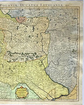
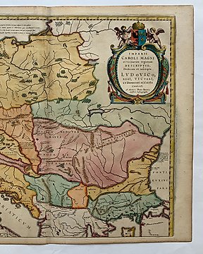
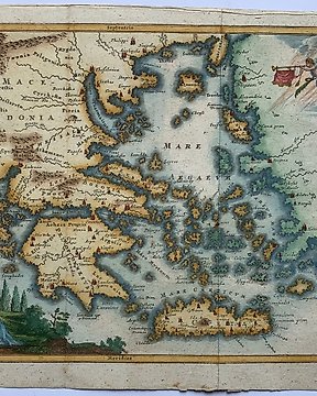
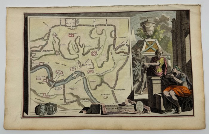
Jan Van Vianen (engraver) after drawing by Jan Goeree. Engraving 387 x 442 mm (sheet). Map of Lazio east of Rome. Fine, crisp impression on thin laid paper. Usual central fold. In very good condition except for slight browning along the edges.
Techniques: Copper-plate Engraving
Date/Place: 1667
Printed in: Amsterdam, Netherlands
Size: 36 cm x 24.5 cm
Condition: Generally very good with the usual light overall toning, wear, there may be minor imperfections to be expected with age.
We include the Certificate of Authenticity. This Item is professionally protected by handmade packing.
So kaufen Sie auf Catawiki
1. Etwas Besonderes entdecken
2. Höchstgebot abgeben
3. Sichere Zahlung durchführen