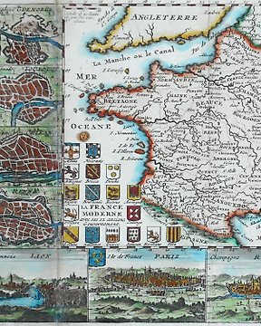
Europa, Landkarte - Frankreich; De La Feuille - La France Moderne - 1701-1720
Nr. 83270259
![Europa, Landkarte - Spanien; John Bayly - [Set of 2 Maps] Mediterranean Spain - Plan of Madrid hand coloured - 1781-1800](https://assets.catawiki.nl/assets/2024/4/23/9/2/0/920e997e-77b1-411d-964a-a6eecc96e97c.jpg)
Nr. 83270259
St of 2 maps
Map 1:
Antique map of a chart of the English Channel, with the coasts of France, Spain and Portugal from "The Geographical Magazine; or A New Copious, Compleat, and Universal System of Geography By William Frederick Martyn Esq. London. Technique: Hand colored steel engraving. Date: 1783. Artist: John Bayly. Place: London, England.
Techniques: Copper-plate Engraving
Date/Place: 1783
Printed: London, England
Size: 20 cm x 37 cm
Map 2:
19th century plan of Madrid
Society for the Diffusion of Useful Knowledge.
Detailed town plan, with elevations of the major buildings, including the Escorial , the Buena Vista and Royal palaces, the Church of St. Norberto, the Convent of the Visitation and others, under the map.
London, Baldwin & Cradock, 1831. Coloured. Steel-engraving,
Techniques: Copper-plate Engraving, Hand-coloured.
Date/Place: 1831
Printed: Madrid, Spain.
Size: 20 cm x 32 cm
Condition: Generally very good with the usual light overall toning, wear, there may be minor imperfections to be expected with age.
We include the Certificate of Authenticity. This Item is professionally protected by handmade packing.
So kaufen Sie auf Catawiki
1. Etwas Besonderes entdecken
2. Höchstgebot abgeben
3. Sichere Zahlung durchführen