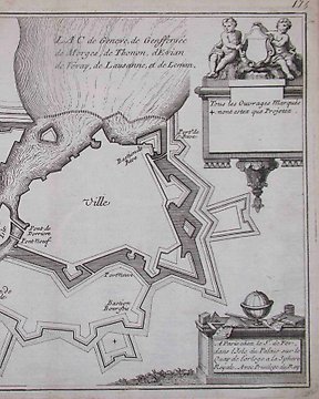
Europa, Landkarte - Deutschland / Hohenstein; Friedrich August Schmidt Gebrüder Wilmans - Ansicht von Hohenstein - 1801-1820
Nr. 83294277
Nr. 83294277
Print 1
Good impression on wove paper.
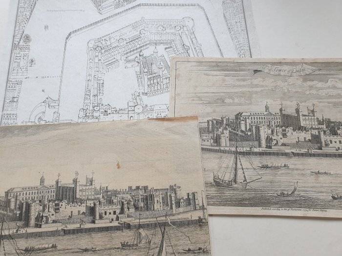
From a drawing made between 1681 and 1689 by Order of Ld Dartmouth Manager General of the Ordnance.
Published by the Society of Antiquities of London in January 1st, 1815.
Condition is reasonable. Surface dirt. Yellowing paper. Foxing.
Part 2
Good impression on laid paper.
Condition is reasonable. Tear on top right corner. Brown stain on sky. Brown stain on the top right corner. Scratches and crease.
Part 3
Good impression on laid paper.
View of the Tower of London from the river; boats in the foreground;
Biography
Topographical engraver, born in Amsterdam. It is usually assumed that he arrived in London after the accession of William and Mary, but Vertue is uncertain of the date, noting "came to England after about [the latter word in superscript] the Revolution" (Vertue, I, p. 105); definitely in London between 1697 and 1722. In Amsterdam until 1685. Best known for his work with Knyff (q.v.) on Britannia Illustrata.
(British Museum)
Condition is good. Diffuse foxing. Yellowing paper. Folds upper right corner.
So kaufen Sie auf Catawiki
1. Etwas Besonderes entdecken
2. Höchstgebot abgeben
3. Sichere Zahlung durchführen