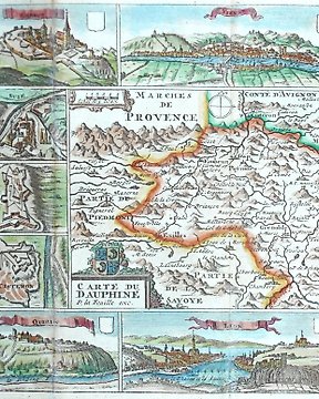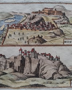
Europa, Landkarte - Frankreich, Montmélian, Festung von Miolans; V. M. Coronelli - Mont-Mellian; Miolans - 1701-1720
Nr. 83435453

Nr. 83435453
Dimensions: 14 x 10 cm. (on sheet: 20.5 x 16 cm.).
Condition: good (minor foxing)
Verso:blank
Author: M. Mallet
Publisher: J. A. Jung. Francoforte.
Note: from "Beschreibung des ganzen Welt Kreises"
Alain Mannesson Mallet (1630-1706) was a French mapmaker and engineer who served in the armies of Louis XIV. After rising through the ranks, Mallet was appointed as Inspector of Fortifications, a job which also required mathematical skills and which made him a competent military engineer.
So kaufen Sie auf Catawiki
1. Etwas Besonderes entdecken
2. Höchstgebot abgeben
3. Sichere Zahlung durchführen