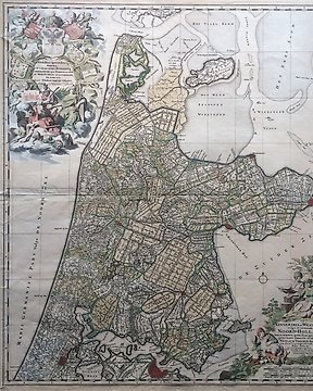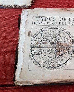
Welt, Atlas - Welt; Jollain - Trésor des cartes géographiques des principaux estatz de l'univers - 1667
Nr. 83436609

Nr. 83436609
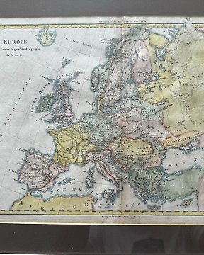
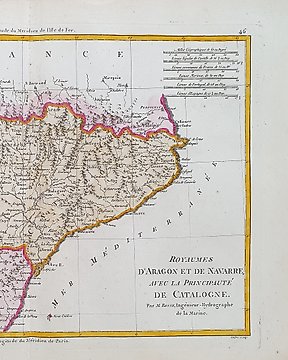
A decorative and detailed mid 19th century map of Europe published in John Tallis’s Illustrated Atlas (London & New York: John Tallis & co, c.1851).
The Illustrated map, was typical of the many fine ones which appeared in this work with its decorative border and attractive vignettes.
Illustrated are views of Portugal and Spain.
This is an original steel engraving with original hand colour.
Printed area is approximately 32cms by 26.2cms.
The map is in very good condition with decent margins; centrefold, as issued.
Guaranteed to be over 160 years old.
- Dimensions (in cm.) printed area: 32cms x 26.2cms
- Condition: Excellent (slight traces of wear outside of map image)
- Whether the verso is blank: Have some words and number
- Source of the text (if applicable):
- Method of shipment: Registered with insurance.
Very beautiful colors. In excellent condition overall. It has the frame that we sent with or without it, as the buyer prefers.
So kaufen Sie auf Catawiki
1. Etwas Besonderes entdecken
2. Höchstgebot abgeben
3. Sichere Zahlung durchführen