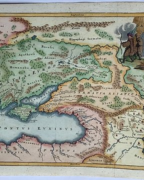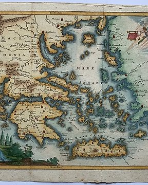
Europa, Landkarte - Griechenland / Kreta / Ägäische Inseln; Christophorus Cellarius - Greciae antiquae et Insularum conspectus - 1723
Nr. 83545175

Nr. 83545175
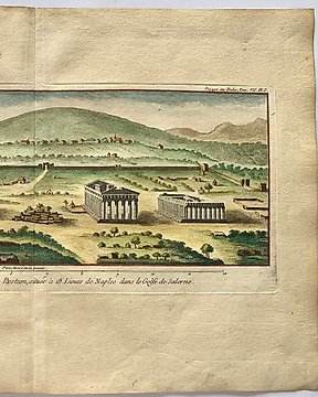
Fabulous town plan of Parma, including a large panoramic view of the city from the Gate of St. Barnaba. One of the best 19th Century English town plans to appear in a commercial atlas, published in London, 1840.
Dimensions
41 cm x 35 cm
Artist or Maker
Chapman & Hall
Medium
Lithography
Date
1840
Condition Report
This work is in very good to excellent condition overall. Please review the images carefully for condition and contact us with any questions.
This item is professionally protected by handmade packing.
The Certificate of Authenticity is included.
So kaufen Sie auf Catawiki
1. Etwas Besonderes entdecken
2. Höchstgebot abgeben
3. Sichere Zahlung durchführen