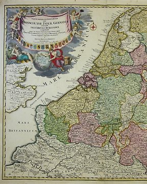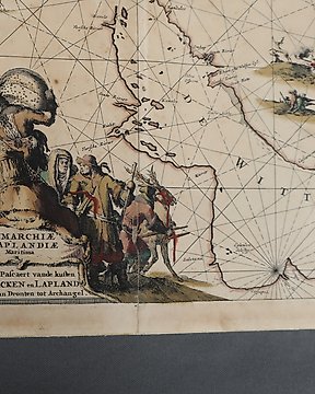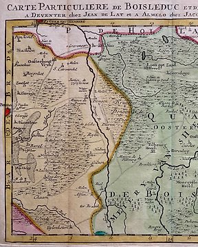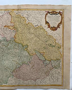
Europa, Landkarte - Deutschland / Obersachsen; Matteo Seutter - Saxoniae Superioris - 1761-1780
Nr. 83812393

Nr. 83812393
Dimensions overall: 40 cm x 53 cm (printed surface 32 cm x 45 cm)
This map is an original copper engraved print from 1770-1785 with a beautiful cartouche depicting animals and plants of Africa
Creator:
Bonne, Rigobert (1727–1795) ; Rizzi-Zannoni, Giovanni Antonio (c. 1736 – 1814) ; Janvier, Jean Denis . From Atlas moderne ou Collection de cartes sur toutes les partiers du Globe Terrestre par plusieurs auteurs
Shipping via mail to buyers country. Free pick up from the seller.
So kaufen Sie auf Catawiki
1. Etwas Besonderes entdecken
2. Höchstgebot abgeben
3. Sichere Zahlung durchführen