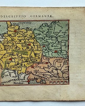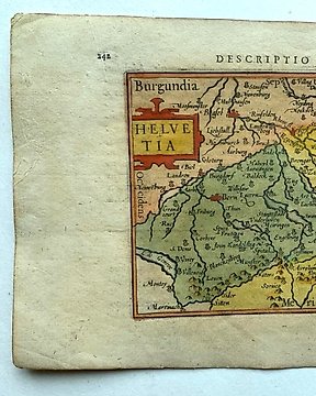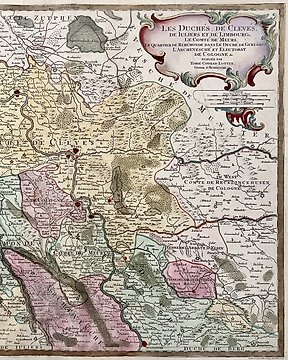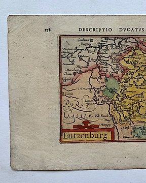
Ευρώπη, Χάρτης - Λουξεμβούργο; P. Bertius - Lutzenburg - 1601-1620
Αρ. 81361805
Αρ. 81361805
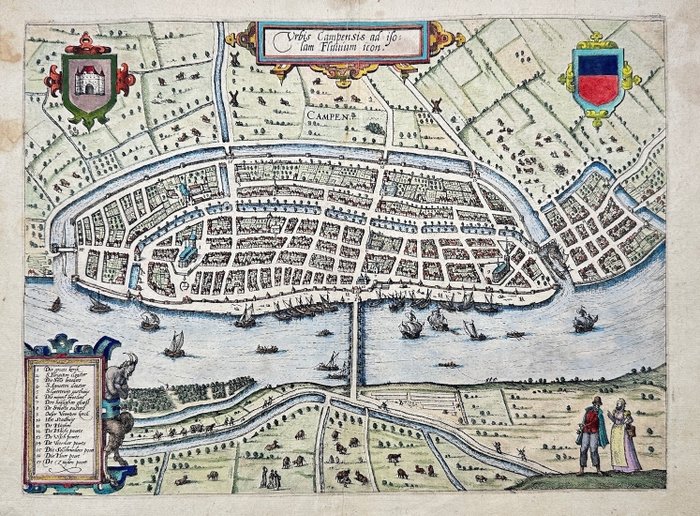
This Superb Handcolored Antique map, titled 'Urbis Campensis (..)'. Plan of the city of Kampen, the Netherlands.
This map originates from the 1613 edition of the Atlas, 'Discrittione di tutti i Paesi Bassi', by L. Guicciardini, published by J. Janssonius.
Lodovico Guicciardini (1521-1589): an Italian merchant from aristocratic descent. Attractive bird's eye-view plan of the town of Kampen and its vicinity with a key to seventeen locations. The view is filled with activity along the roads and in the surrounding fields with fishing boats in the river.
Artist/author :Lodovico Guicciardini
Techniques: Copper Engraving
Date : 1613
Size: 29 cm x 39 cm
Condition: Generally very good with the usual light overall toning, wear.
We include the Certificate of Authenticity. This Item is professionally protected by handmade packing.
Πώς να πραγματοποιήσετε αγορές στην Catawiki
1. Ανακαλύψτε κάτι ιδιαίτερο
2. Υποβάλετε την κορυφαία προσφορά
3. Πληρώστε με ασφάλεια