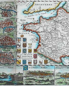
Ευρώπη, Χάρτης - Γαλλία / Μονπελιέ; Belleforest - Pourtraict de la ville de Montpellier - 1575
Αρ. 83265187
Αρ. 83265187
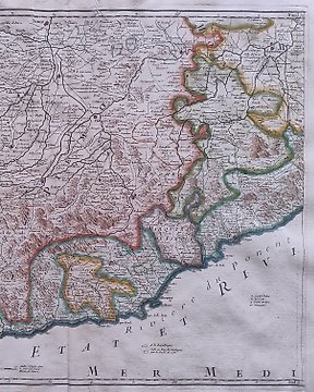
A Map of Italy with its Kingdoms, States &c.: Tindal and Rapin 1750
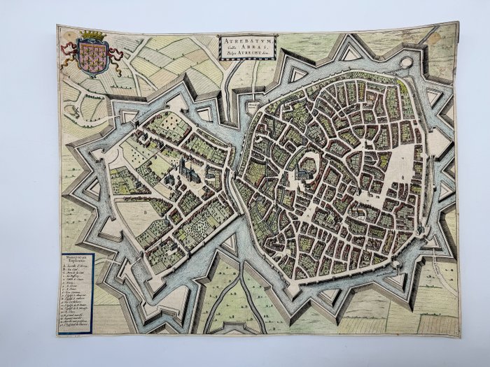
Very rare map of Arras with its fortifications, coat of arms and a legend of the 19 most important buildings. Copper engraving from a plate from Joan Blaeu's city book "Novum Ac Magnum Theatrum Urbium Belgicae" Amsterdam, J. Blaeu, 1649.
Title: Atrebatum Gallis Arras, Belgis Atrecht dicta
Location: Arras in northern France
Cartographer: Joan Blaeu (1596 - 1673)
Year: 1649
Size: approx. 39 cm x 50 cm
Technology: engraving
Condition Report: The map is very cropped. Please review the image carefully for condition and contact us with any questions.
This Item is professionally protected by handmade packing. The Certificate of Authenticity is included.
Πώς να πραγματοποιήσετε αγορές στην Catawiki
1. Ανακαλύψτε κάτι ιδιαίτερο
2. Υποβάλετε την κορυφαία προσφορά
3. Πληρώστε με ασφάλεια